Google Latitude: Consumerizing Location and Emergencies

Feb 18, 2009
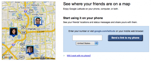
A little over a week ago Google Latitude launched, a location-based service that marries up smart phones with the web to track your location and find your friends (which looks suspiciously like an exact clone of InSTEDD's SMS GeoChat by the way). It's a mobile social network with a focus on location. See my earlier thoughts on microblogging and crisis, and the official Google blog post on it. What Google has done, instead of just building another social network, is use their existing "My Location" and other tools to enable people on Maps for Mobile to share their location with a selective group of contacts -- those who opt-in to participate. This is more innovative and will have a larger impact than most people understand just yet. It's big, primarily because it's not a "specialized for humanitarian efforts" application - it's made for everyone, all the time, which means it is more likely to be used when an emergency strikes. As Sanjana Hattotuwa says:
"Potential uses for this for real time election violence monitoring, IDPs and refugee movement tracking, Human Rights and Ceasefire monitoring, peacekeeping, humanitarian relief and disaster management are impressive and beg to be explored."
Just today, Google announced that they already have 1 million users in 27 countries. That's fairly impressive, and it will grow as they have specific communities that adopt the service. It will also grow when an emergency strikes and people "turn it on" for their Google account. Basically, a million people have turned it on out of curiosity, what happens when you give the rest a real reason? Make no mistake, this is Google's quiet "Ace" and it's a killer app. Nokia, Facebook, Twitter and the rest would do well not to ignore it. My question: can outside services play with this? Is there going to be an API or web service?